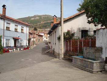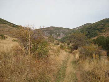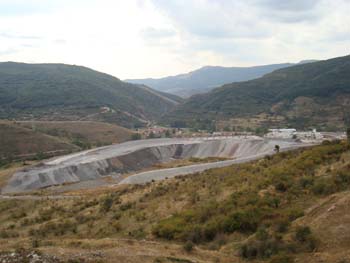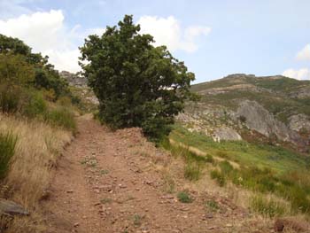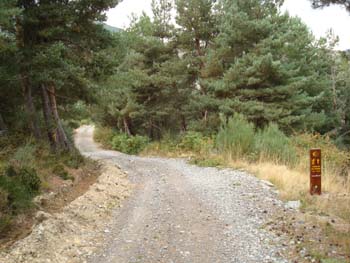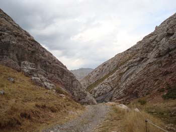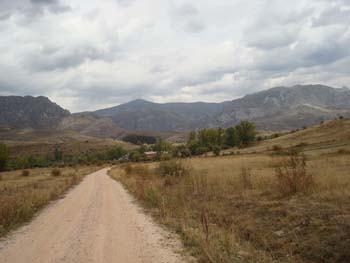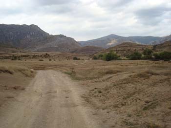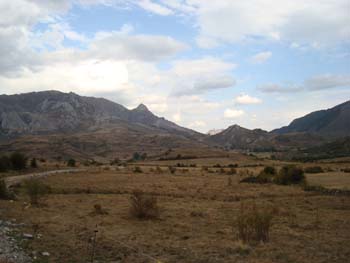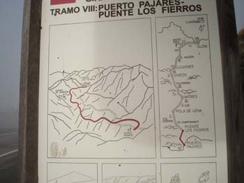
This is the most difficult section of the route. The path rises by some 500 meters to 1,450m in a distance of 2 km. The path winds around the workings of a large mine. The steep sections have a surface of loose stones. There are no facilities of any kind until you reach the fountain in Rodiazmo
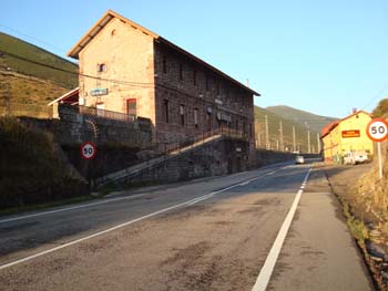
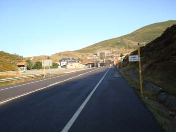
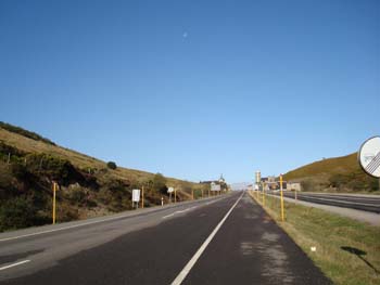
The route marked on the ground takes you through Rodiazmo, and, if you go straight on, to the N630 at Villanueva de la Tercia. From there, you have the choice of walking 2 km. to your right to stay at the Hostal Golpejar (km 98.2, Villamarin; tel 987 598 904). or turning left up the N630 a distance of 15 km. over the Puerto de Pajares and down to Parajes village with the refugio.
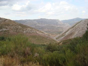
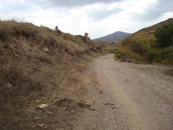
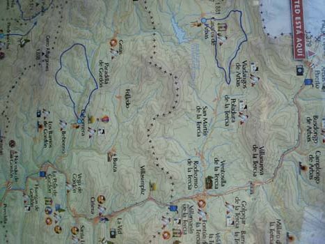
This route is not however marked on the outline map on the AmigosAstur-Leonesa website, which indicates two other routes. The first goes from Buiza to Villasimpliz, which is south of Villamarin and would avoid the climb out of Buiza, but at the cost of more walking on the N630, and missing some very beautiful scenery. The second goes directly across the mountains to Pobladura de la Tercia and on to Arbas, and would be shorter than the routes above, though with a climb up to some 1500 m. This route is probably the Camino de Tierra going off to the left 20 meters or so before the small hut at the road divide noted below.
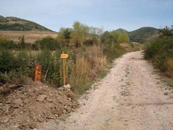
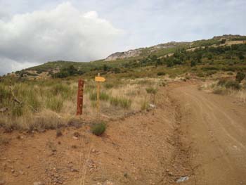
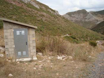
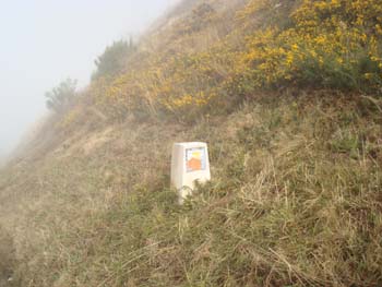
As you descend from the summit the forest road bends sharply to the right, and, immediately beyond it, is this undistinguished little building with the last of the brown marker posts just visible on the hillside beyond it
On the bend, there is an unmarked “Camino de Tierra” that goes off to the left. This probably leads to Poladura de la Tercia and then to Arbas – we would appreciate more information.
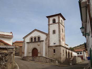
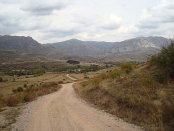
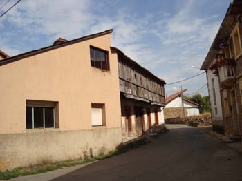
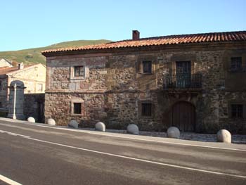
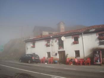
A safer and more reliable alternative is to proceed on to Rodiazmo and then turn left at the church to follow the metalled road CV-103-3 to Poladura de la Tercia – this might be easier to navigate though not so scenic. There is a casa rural in this village which is said to be very friendly and has a comprehensive website
It is not known whether the section from Poladura de la Tercia to Arbas is waymarked or not. From Google Maps, there appears to be a good track from Villadangos de Arbas which joins the N-630 between Busdongo and Arbas del Puerto (One account of this section says that it is marked with yellow poles indicating a gas supply line, and also that it is quite hard going because of thickets of briar).